38° 42' 54.87" N, 103° 30' 21.23" W
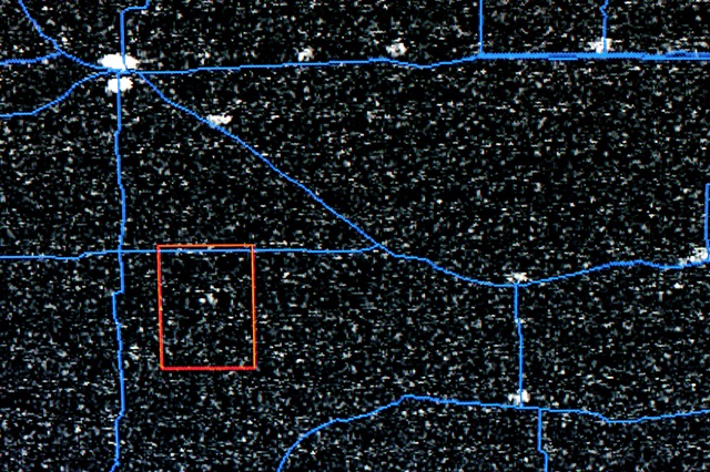
Operational Line Scan (OLS) U.S. Air Force Defense Meteorological Satellite Program (DMSP)
Chromogenic Print
20" x 30"
2011
Shown as an installation with the video 38° 42’ 54.87” N, 103° 30’ 21.23” W, these satellite images capture the light that we created as the U.S. Air Force satellite passed overhead. The data is declassified after 24 hours once the DOD and NOAH inspect the scans.